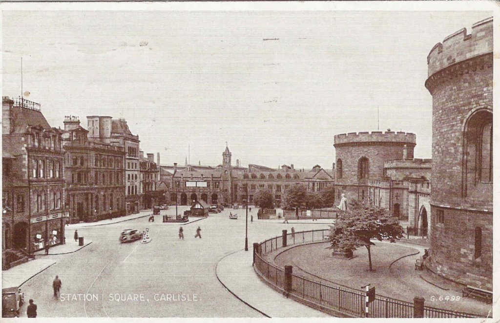
More of the Town Hall
Click on images to enlarge.
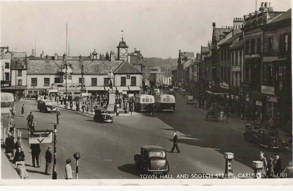
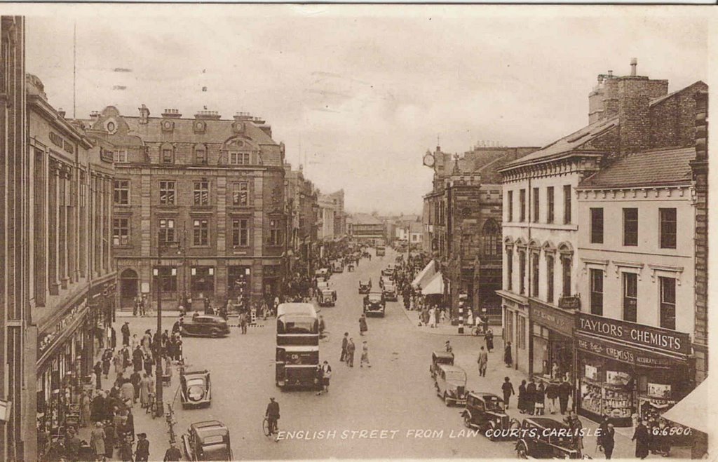
A scene in the 1930s that at first glance looks fairly quiet but look at all the different transport used. People on foot, bicycle, pony and trap, horse and cart, motor car, motor bus, tram and one small group have a perambulator. :-)
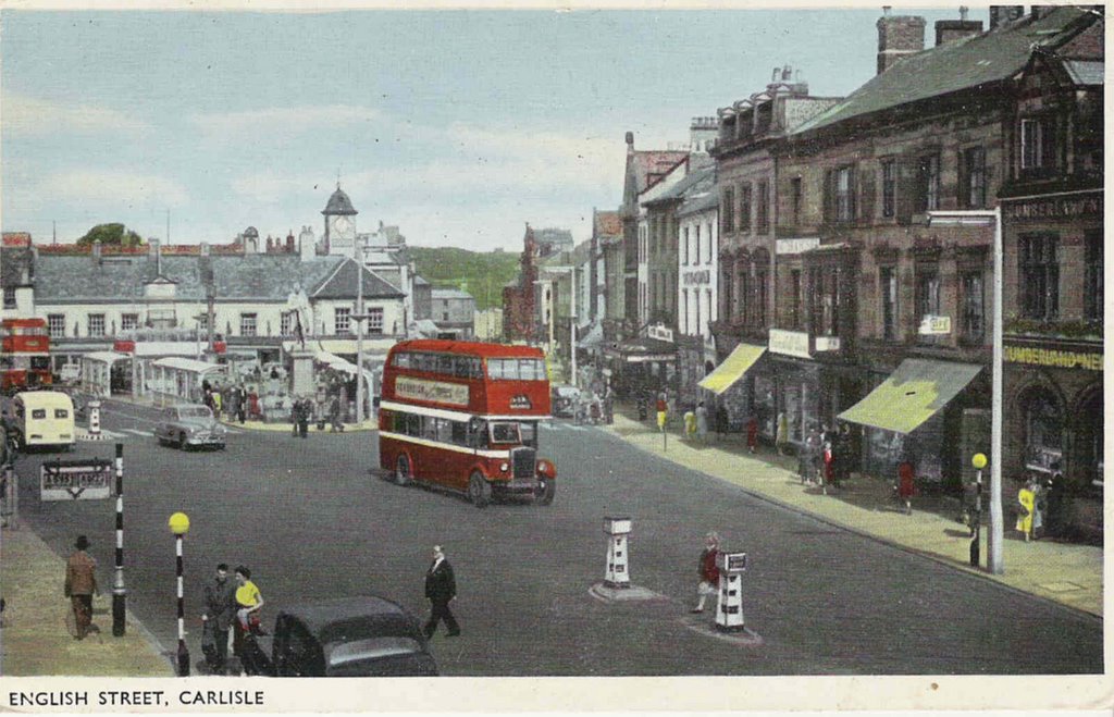
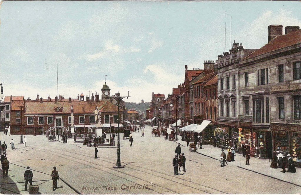
Thurnams on the right have been in Carlisle for 190 years (founded 1816) and at Lonsdale St. since 1957.
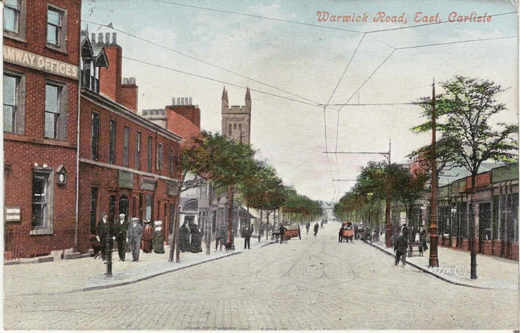
 If you look down Scotch St. on this card you get a little glimpse of the buildings of Rickergate (now all demolished, will be shown on a later card).
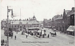
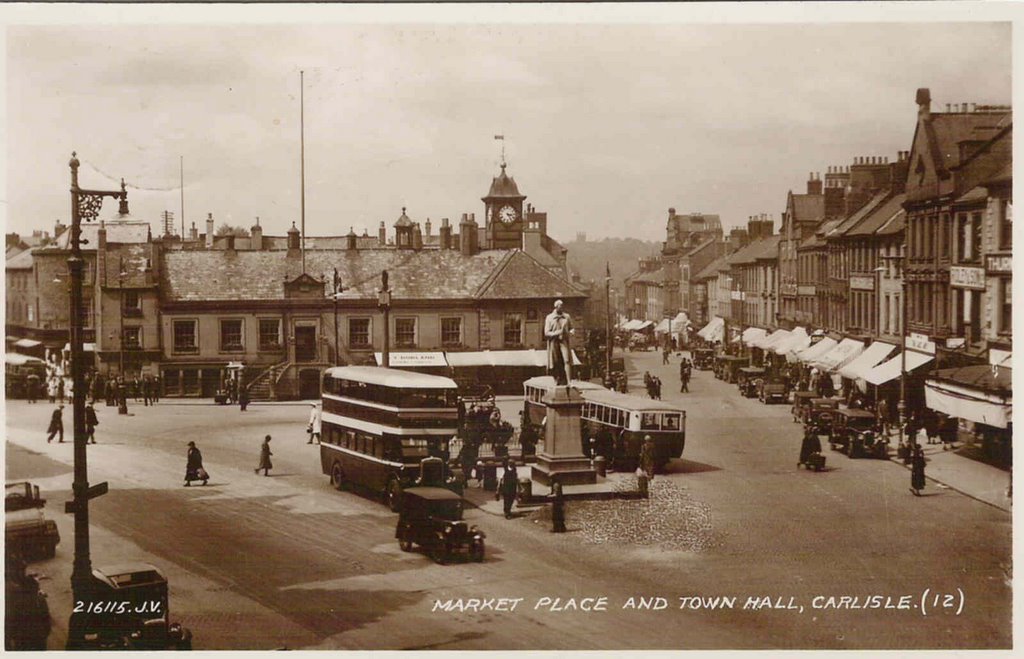
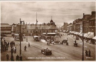
Although posted in 1936 this is a scene from the 1910s or 20s. The gentleman in the horse and trap has come into town (is he wearing a 'topper' ?) on what seems to be a pleasant day.

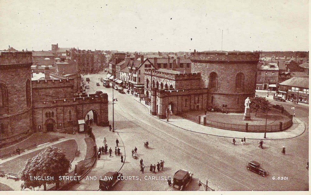
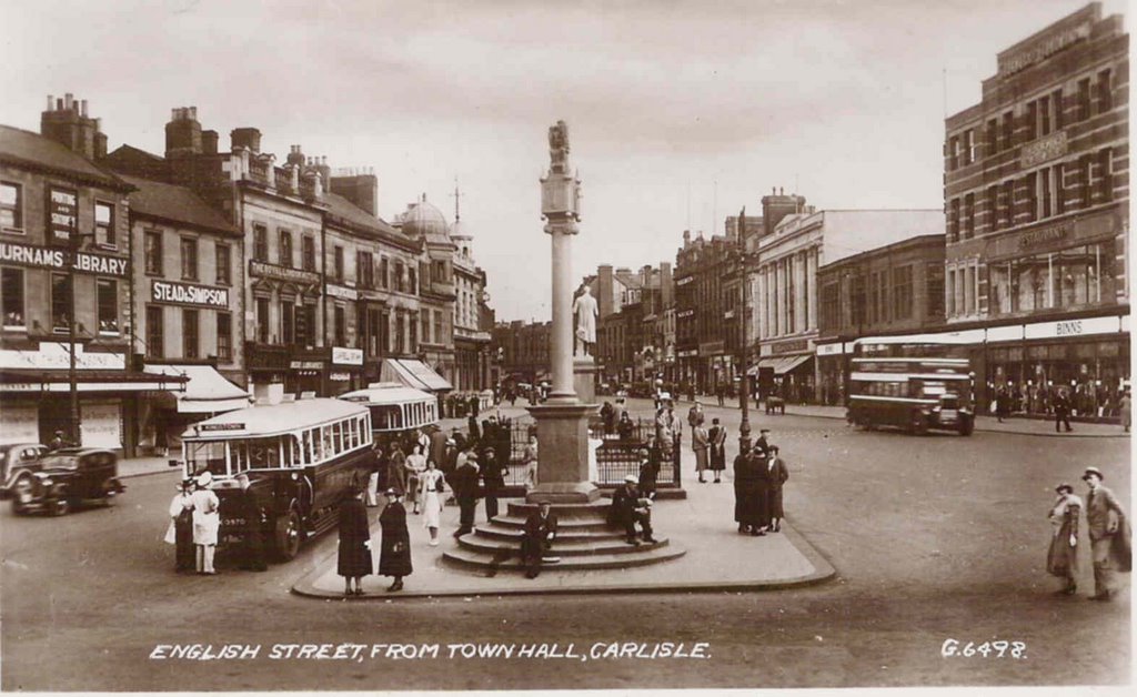
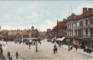
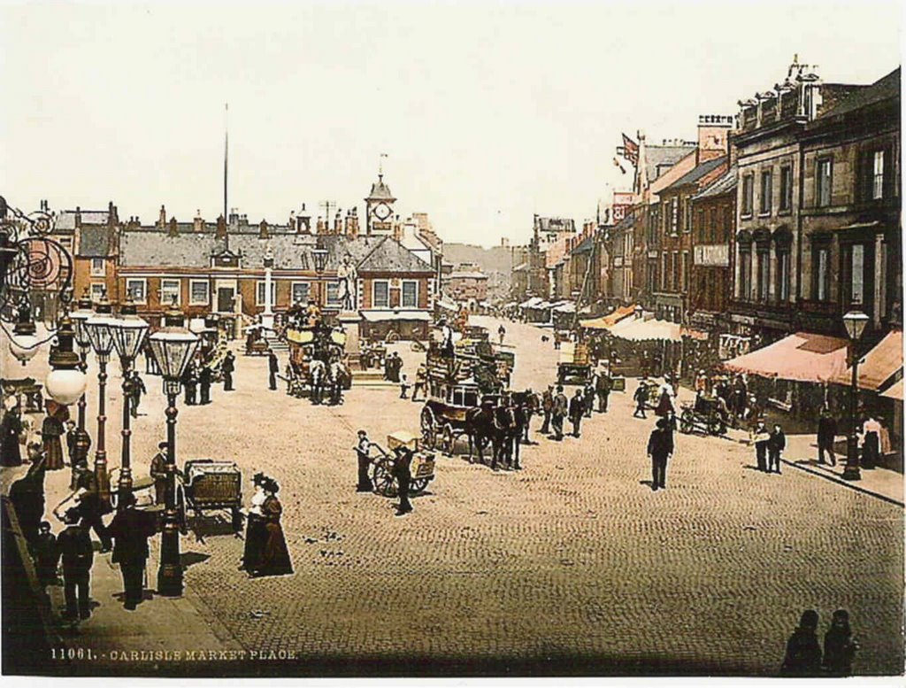
This is a 'reproduction' card but I have included it as it gives a nice view of the Town Hall area in its pre tram days.
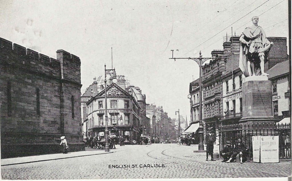
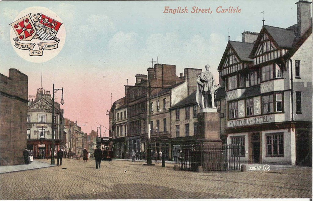
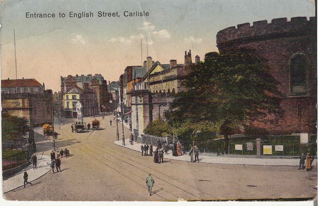
Look at those ornate gas lamps. In 1805 Carlisle's lighting consisted of 400 oil lamps, in 1820 it was lit by town gas and in 1899 the first electric light was switched on.
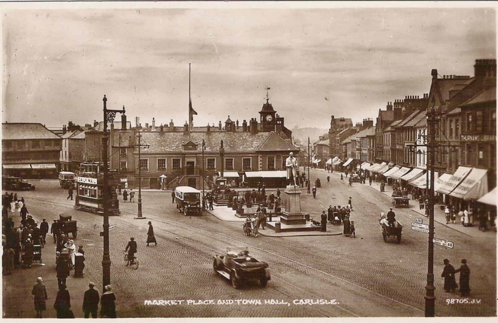
A scene in the 1930s that at first glance looks fairly quiet but look at all the different transport used. People on foot, bicycle, pony and trap, horse and cart, motor car, motor bus, tram and one small group have a perambulator. :-)
Thurnams on the right have been in Carlisle for 190 years (founded 1816) and at Lonsdale St. since 1957.
 If you look down Scotch St. on this card you get a little glimpse of the buildings of Rickergate (now all demolished, will be shown on a later card).
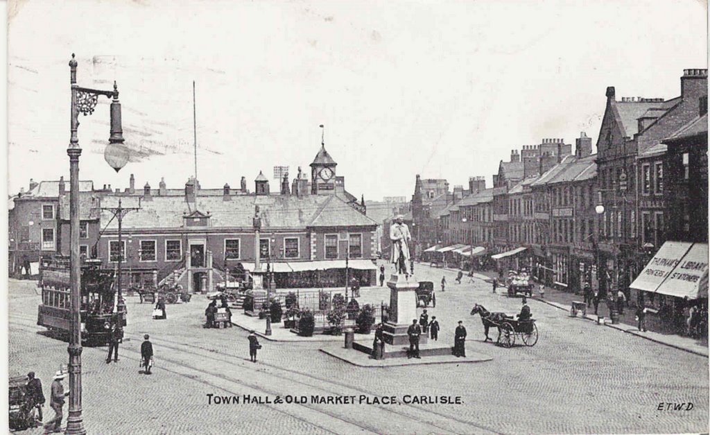
Although posted in 1936 this is a scene from the 1910s or 20s. The gentleman in the horse and trap has come into town (is he wearing a 'topper' ?) on what seems to be a pleasant day.
This is a 'reproduction' card but I have included it as it gives a nice view of the Town Hall area in its pre tram days.
Look at those ornate gas lamps. In 1805 Carlisle's lighting consisted of 400 oil lamps, in 1820 it was lit by town gas and in 1899 the first electric light was switched on.
posted by David at
5:24 AM
|
0 comments
![]()